


Geospatial Information Science & Technology

A.A.S.
Microcredential
Certificate
two people looking at a map on a screen
A.A.S.
Microcredential
Certificate

Map the world—and your path to an in-demand career.
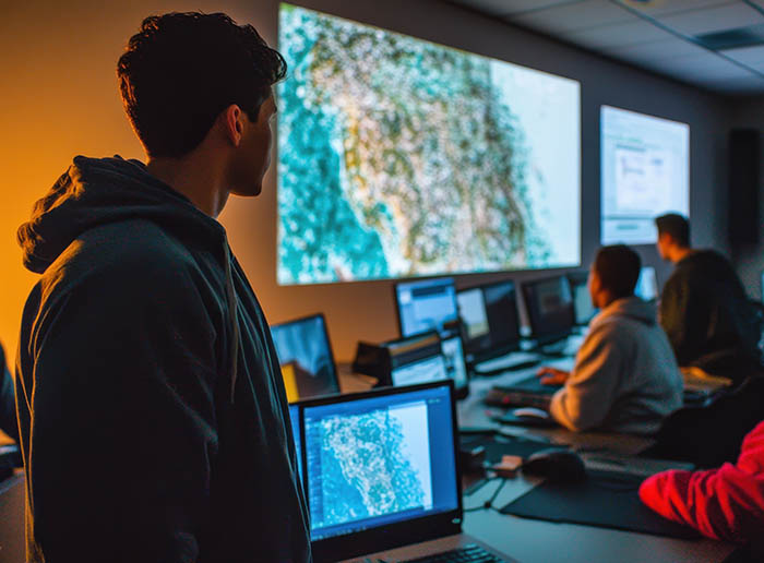
Geospatial Information Science and Technology (GIST) is the science of turning location data into powerful insights. From navigation apps and weather tracking to environmental research and urban planning, geospatial technology helps us understand patterns and make better decisions. At MCC, you’ll learn how to collect, analyze, and visualize geographic data using industry‑standard tools—preparing you for a fast‑growing field with applications across many industries.

What You’ll Learn

In our Geospatial Information Science & Technology programs, you’ll learn how to: 

  • Use GIS software to create maps, data layers, and visualizations 
  • Collect and manage geospatial data from satellites, drones, and fieldwork 
  • Apply remote sensing techniques to analyze environmental and spatial patterns 
  • Design maps using cartographic principles and digital tools 
  • Perform spatial analysis to solve real‑world problems and support decision‑making 
  • Work with databases, geospatial programming, and web mapping tools 
  • Interpret geographic data to identify trends, patterns, and relationships 
  • Build technical and analytical skills used in mapping, planning, and research 
 

Ready to Apply?

Applying to MCC is free, with no college essay or test scores required.

Degree & Certificate Programs

Study Geospatial Information Science & Technology at MCC. Learn GIST mapping, remote sensing, and data analysis with stackable programs that prepare you for in-demand careers. 
A.A.S.

Associate of Applied Science

This degree program provides comprehensive training in GIS, mapping, and spatial analysis, preparing you for careers as a GIS technician or for transfer to a four‑year program in geospatial or related fields.

Length

2 years / 61-62 credit hours
Students typically complete this program in 4 semesters of full-time study.

Location

Brighton Campus & Online

PROGRAM REQUIREMENTS

Important Links

CERT

Certificate

This certificate program builds practical GIS and mapping skills, helping you enter the workforce quickly or enhance another degree or career path with geospatial expertise.

Length

1 year / 24-25 credit hours
Students typically complete this program in 2 semesters of full-time study.

Location

Brighton Campus & Online

Microcredential Programs

Study Geospatial Information Science & Technology at MCC. Learn GIST mapping, remote sensing, and data analysis with stackable programs that prepare you for in-demand careers. 
MICRO

Geospatial Information Science & Technology (Fundamentals)

This short, stackable program introduces essential geospatial skills, including data acquisition, mapping, and analysis—giving you a strong starting point for further study or entry‑level opportunities.

Length

6 months / 10 credit hours
Students typically complete this program in 1 semester of full-time study.

Location

Brighton Campus & Online
MICRO

Geospatial Information Science & Technology (Professionals)

Designed for students or working professionals, this program builds advanced skills in geospatial data management, web mapping, and programming, helping you stay current with industry tools and technologies. 

Length

6 months / 9 credit hours
Students typically complete this program in 1 semester of full-time study.

Location

Brighton Campus & Online

Where Can GIST Take You?

Career Services

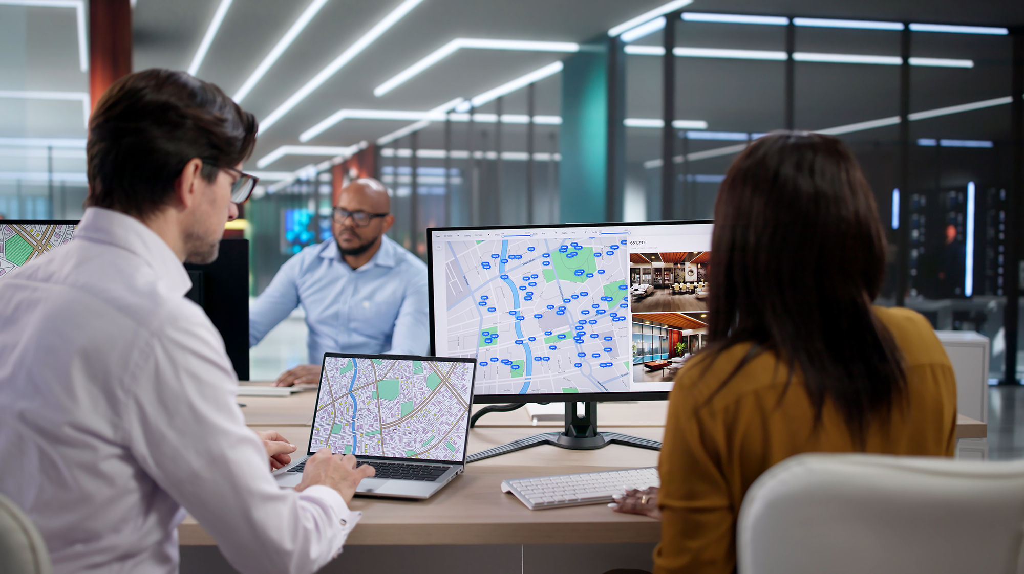
Geospatial skills are used across many industries because location-based data drives real‑world decisions. With training in GIST, you’ll find opportunities in government agencies, environmental organizations, technology companies, and research institutions—anywhere data and location come together.  
icon

Quality Education That Fits Your Budget

MCC’s low tuition, plus financial aid like grants and scholarships, make your education possible. 

Success Starts Here

Get More Information